Boating among Birds
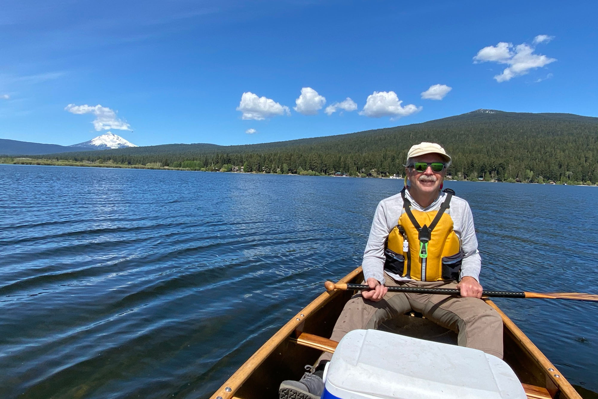
We discovered this lovely gem last summer after we had picked up our canoe in July and were looking for a paddle close by where we could get in a little practice before our September trip to the Bowron Lake Canoe Circuit in Canada.
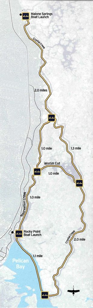
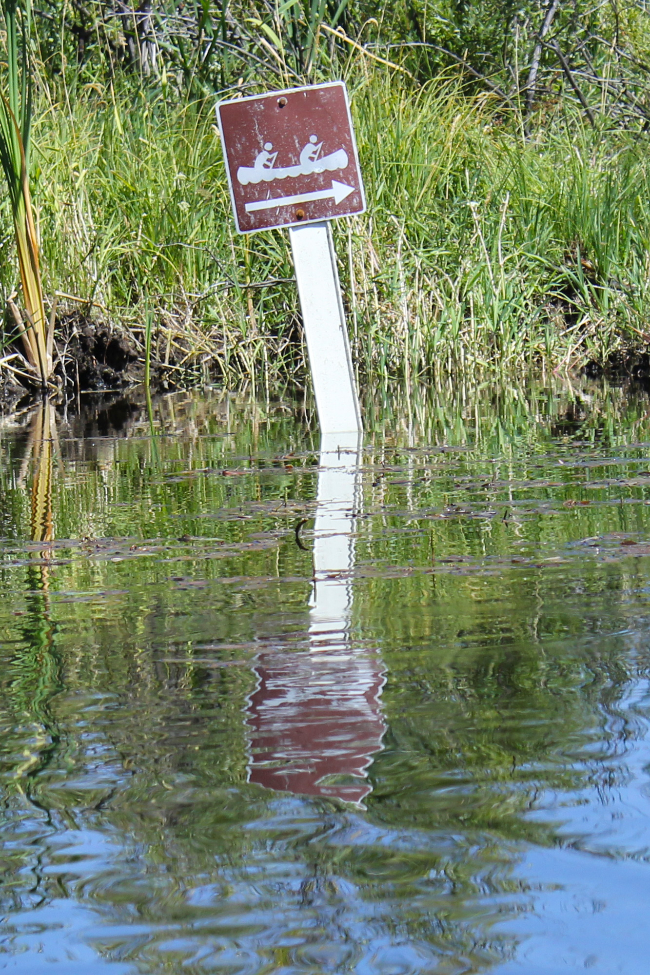
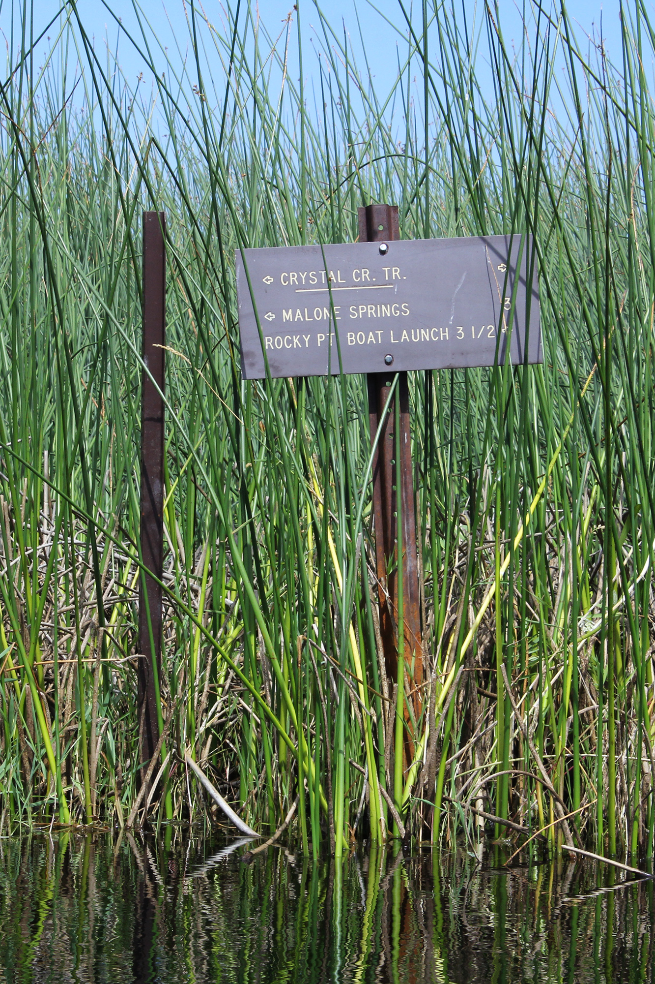
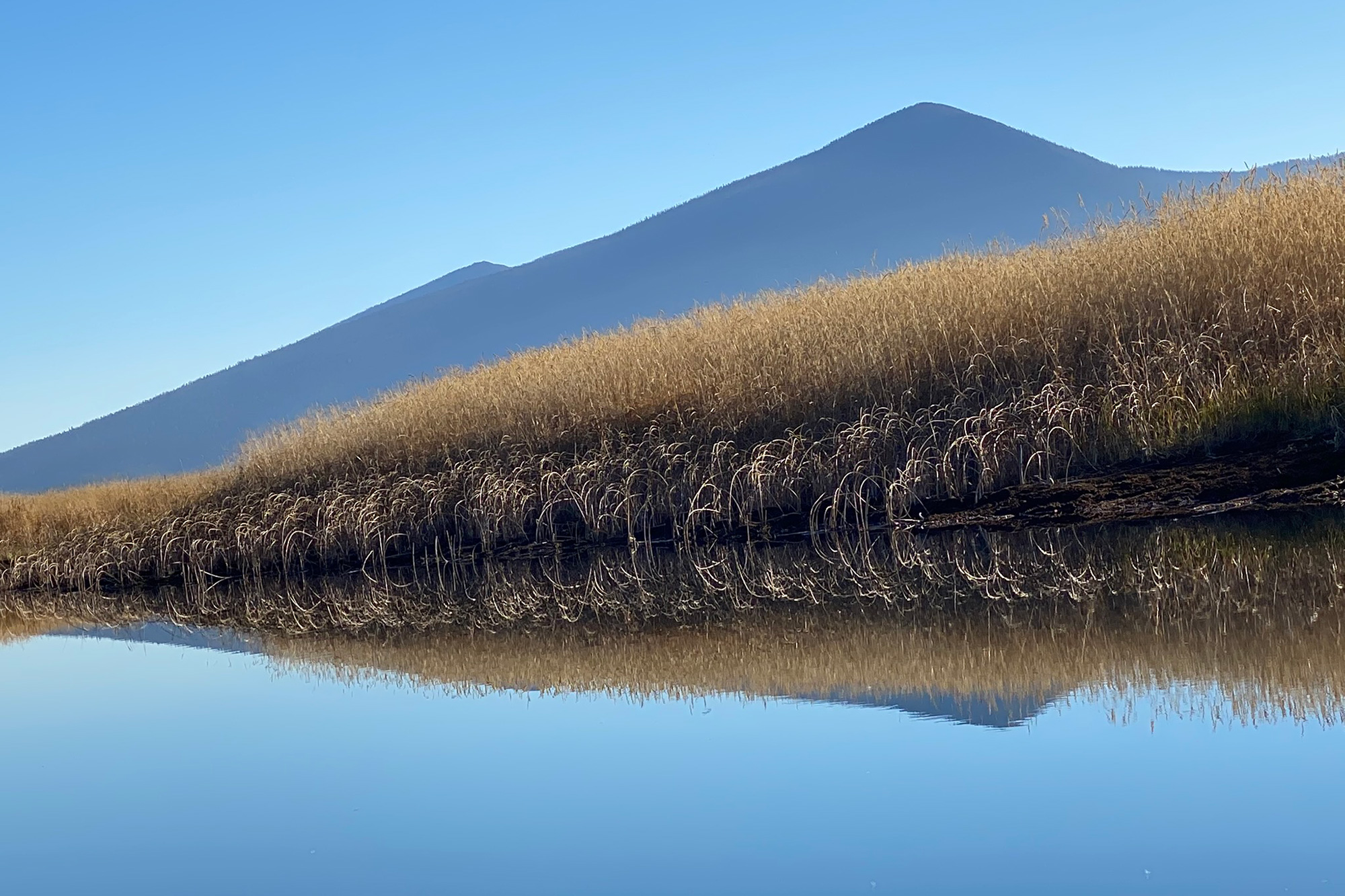
The 9.5 mile Upper Klamath Canoe Trail reaches into the Upper Klamath National Wildlife Refuge, an abundant landscape of open water, freshwater marsh, forest-lined shores, and a southeastern backdrop of Mt. McLoughlin in the Cascade range.
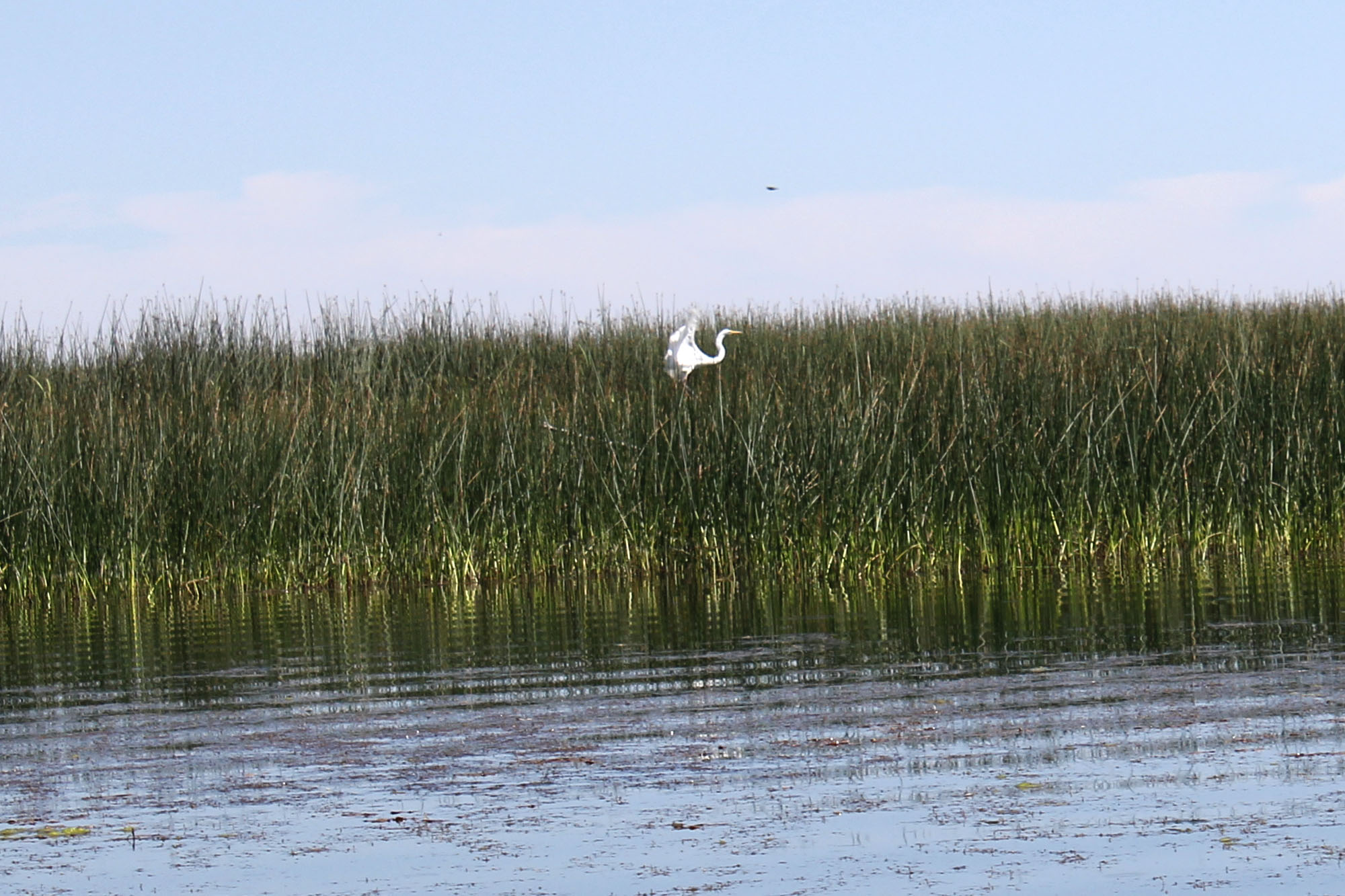
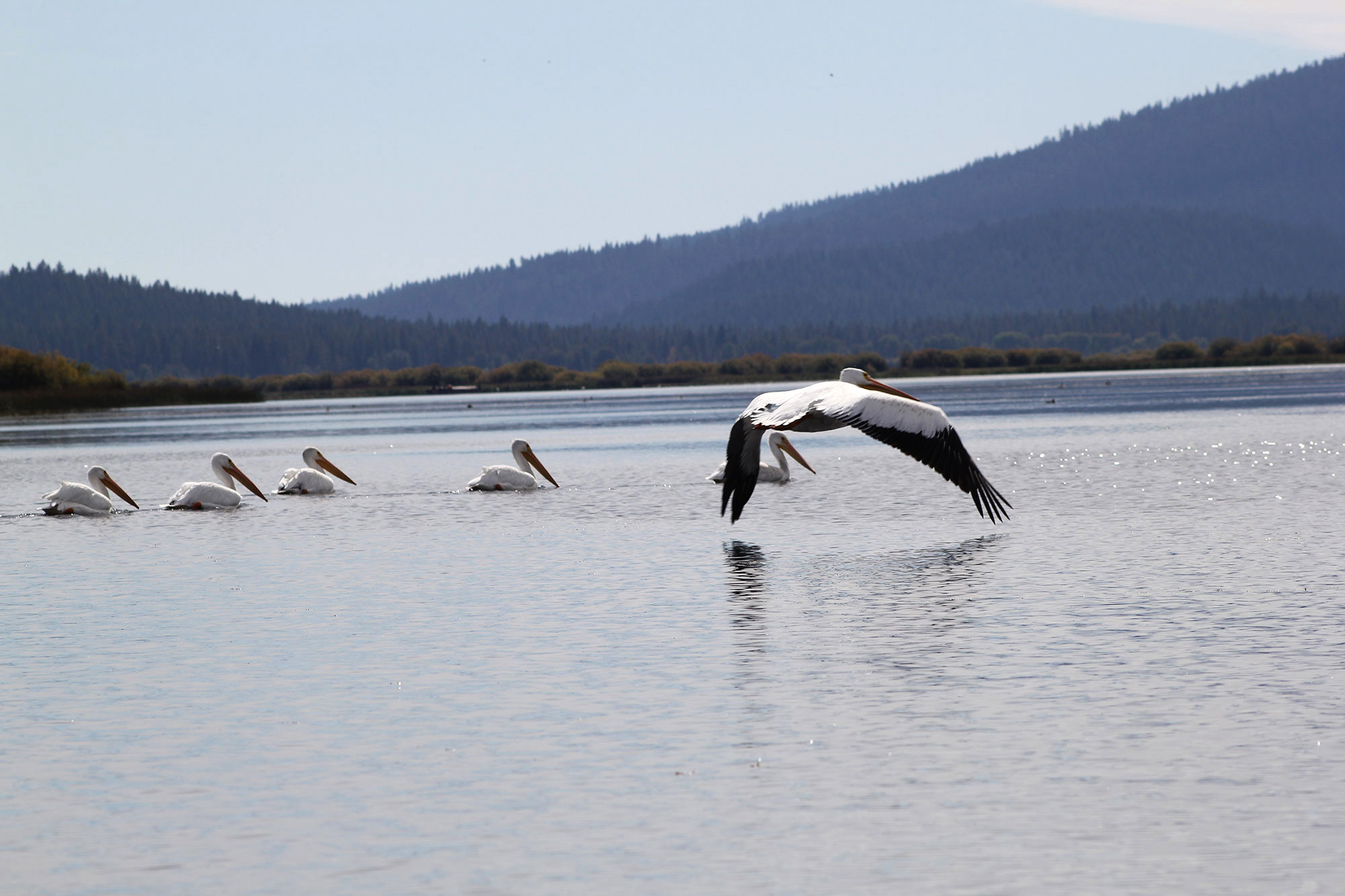
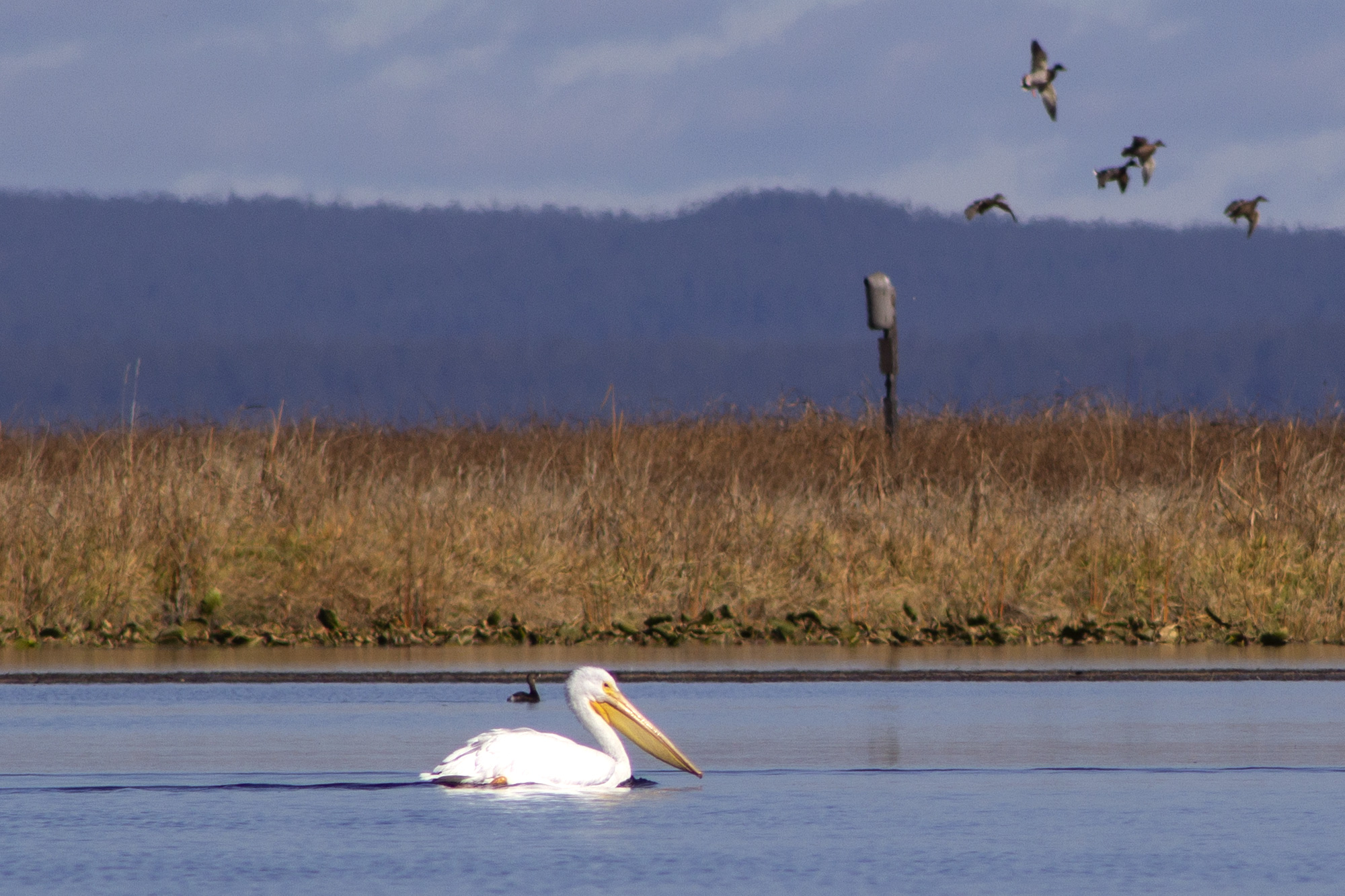
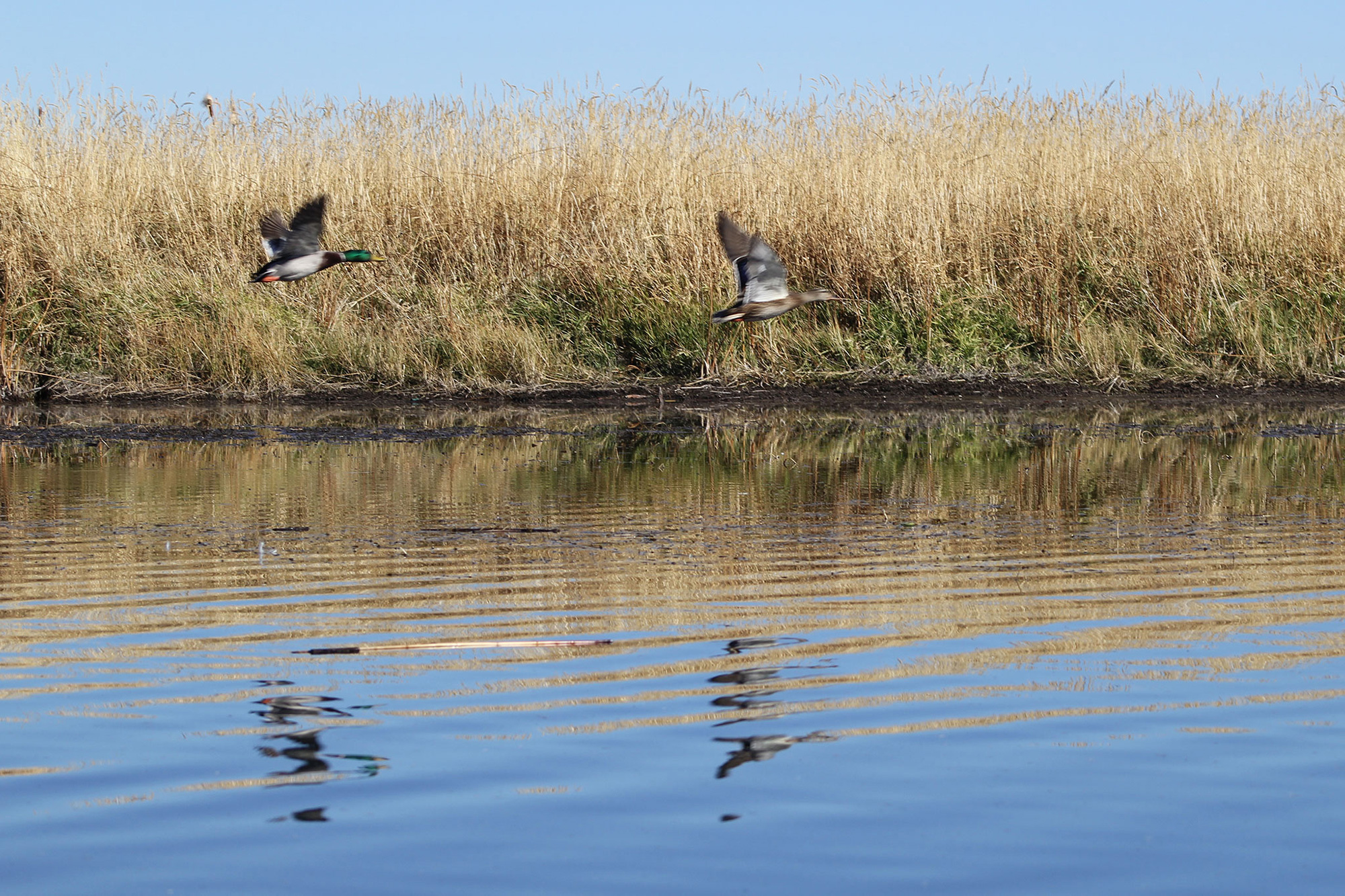
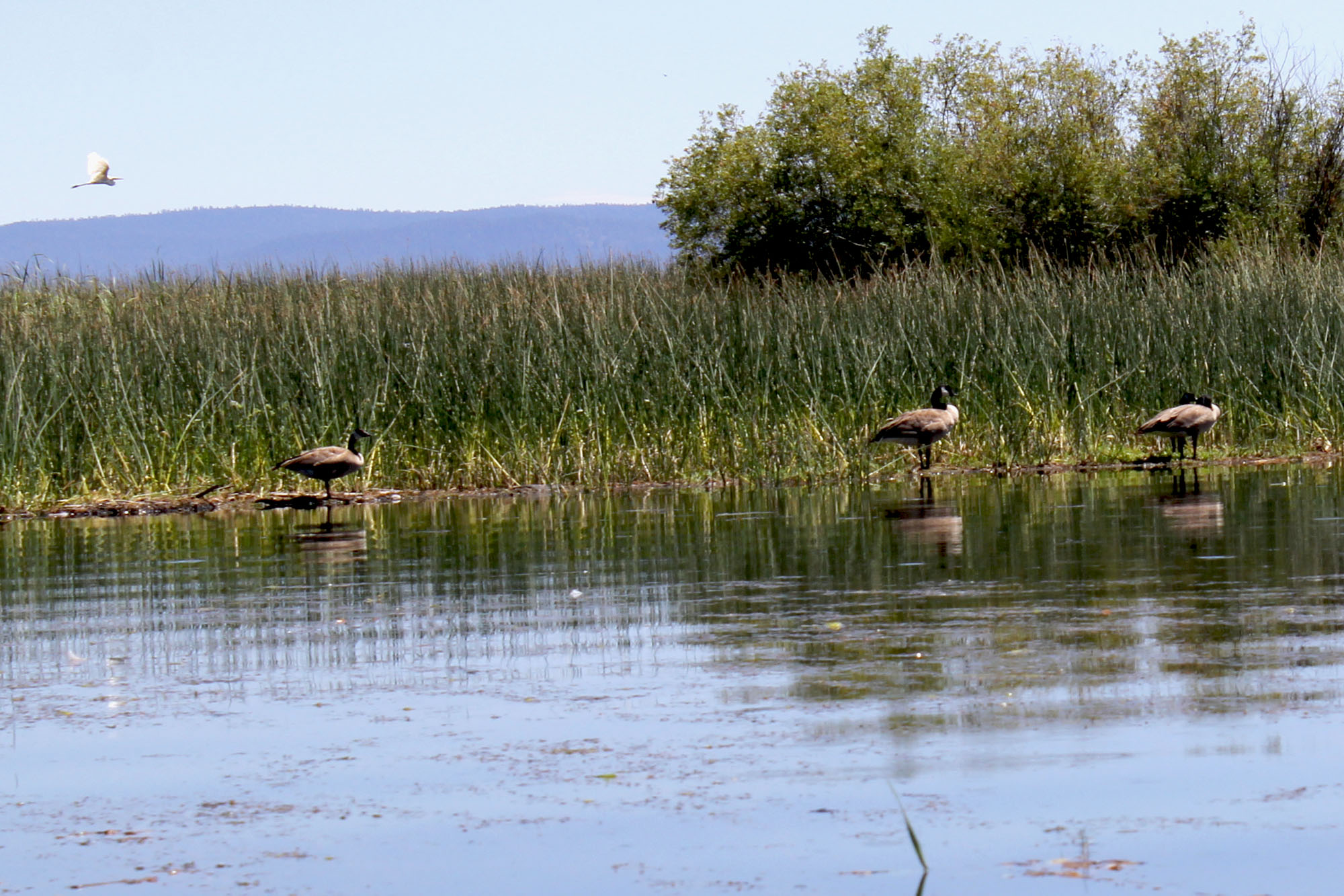
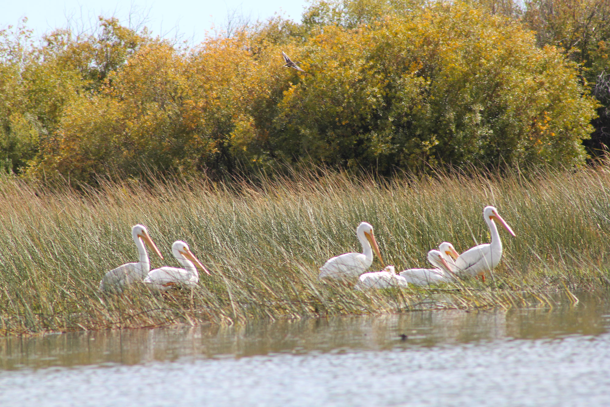
Hundreds of species of waterfowl nest in these cattail and bulrush choked wetlands. In the Spring and Fall the upper Klamath Lake is part of the Pacific Flyway corridor for almost a million migratory birds.
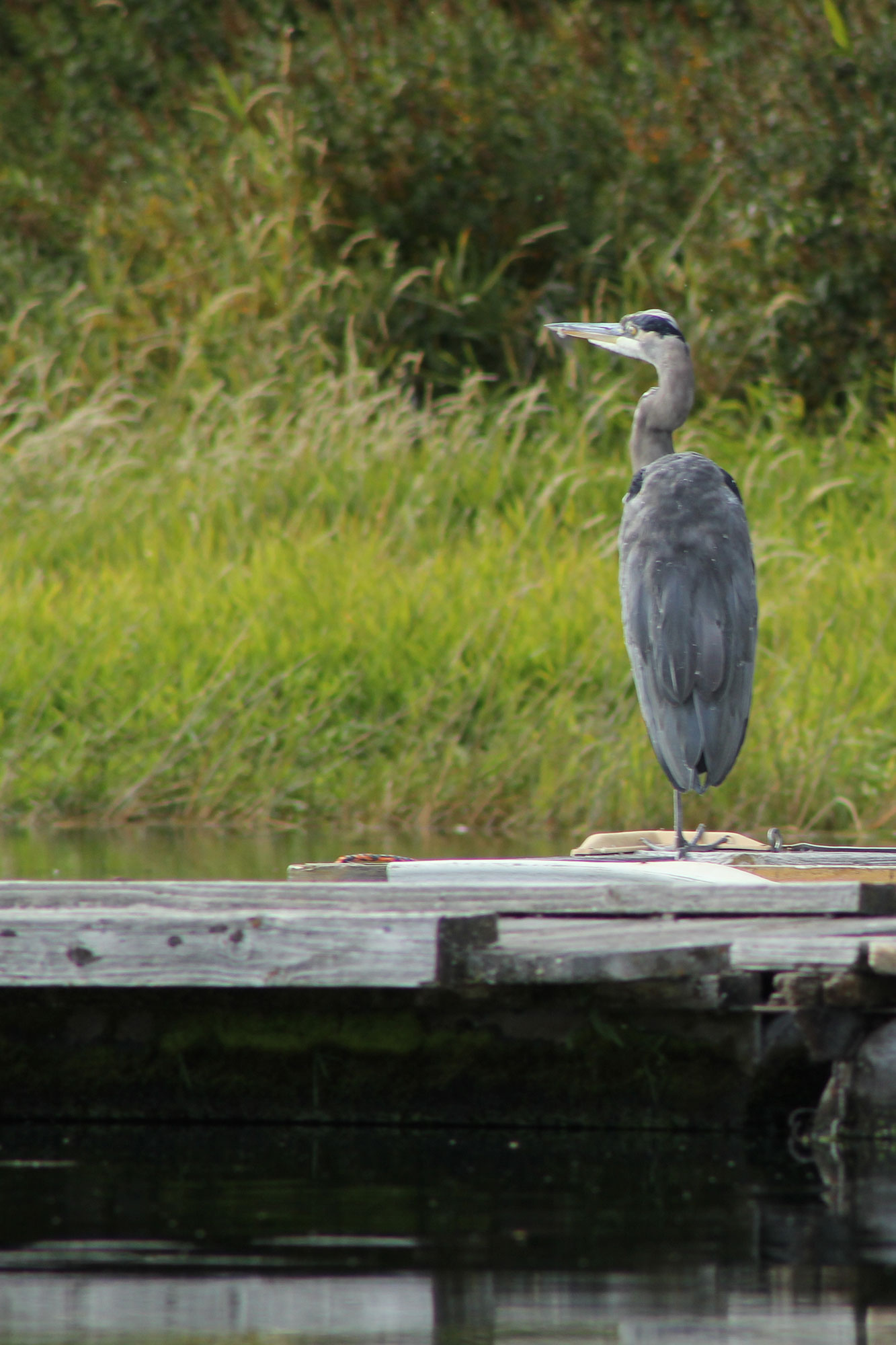
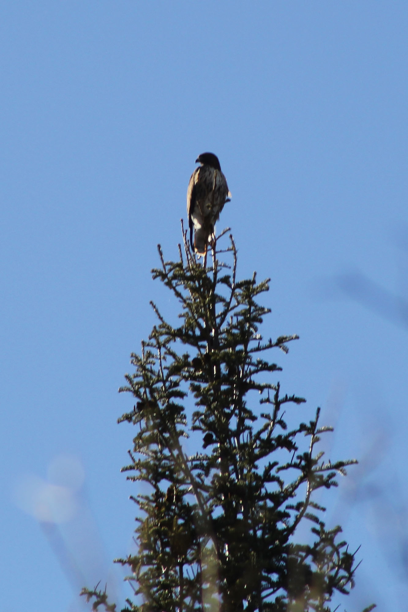
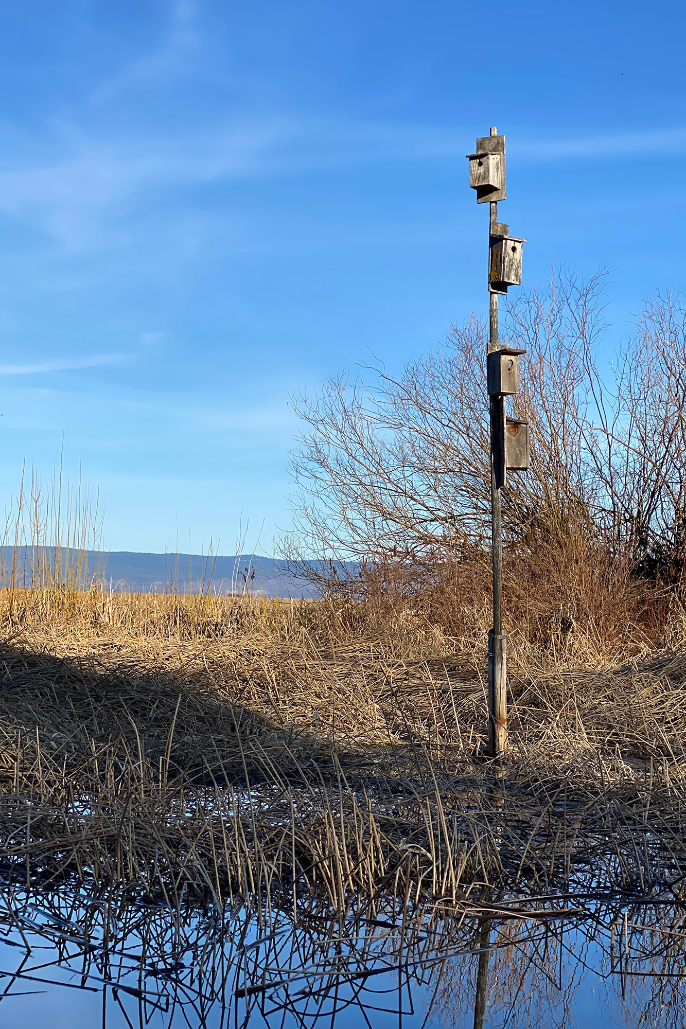
White Pelicans, egrets, grebes, ducks, geese, ospreys, birds of all feathers and flavors. While I appreciate them all, I’m not a birder and not so good at naming them. I do know Bald Eagles, however, and this marshland is full of them. All year round. It’s the perfect habitat, to build a nest, have a family, and hunt for food perched high above the water in an old fir tree, sharp eyes scanning for an unsuspecting fish or snake.
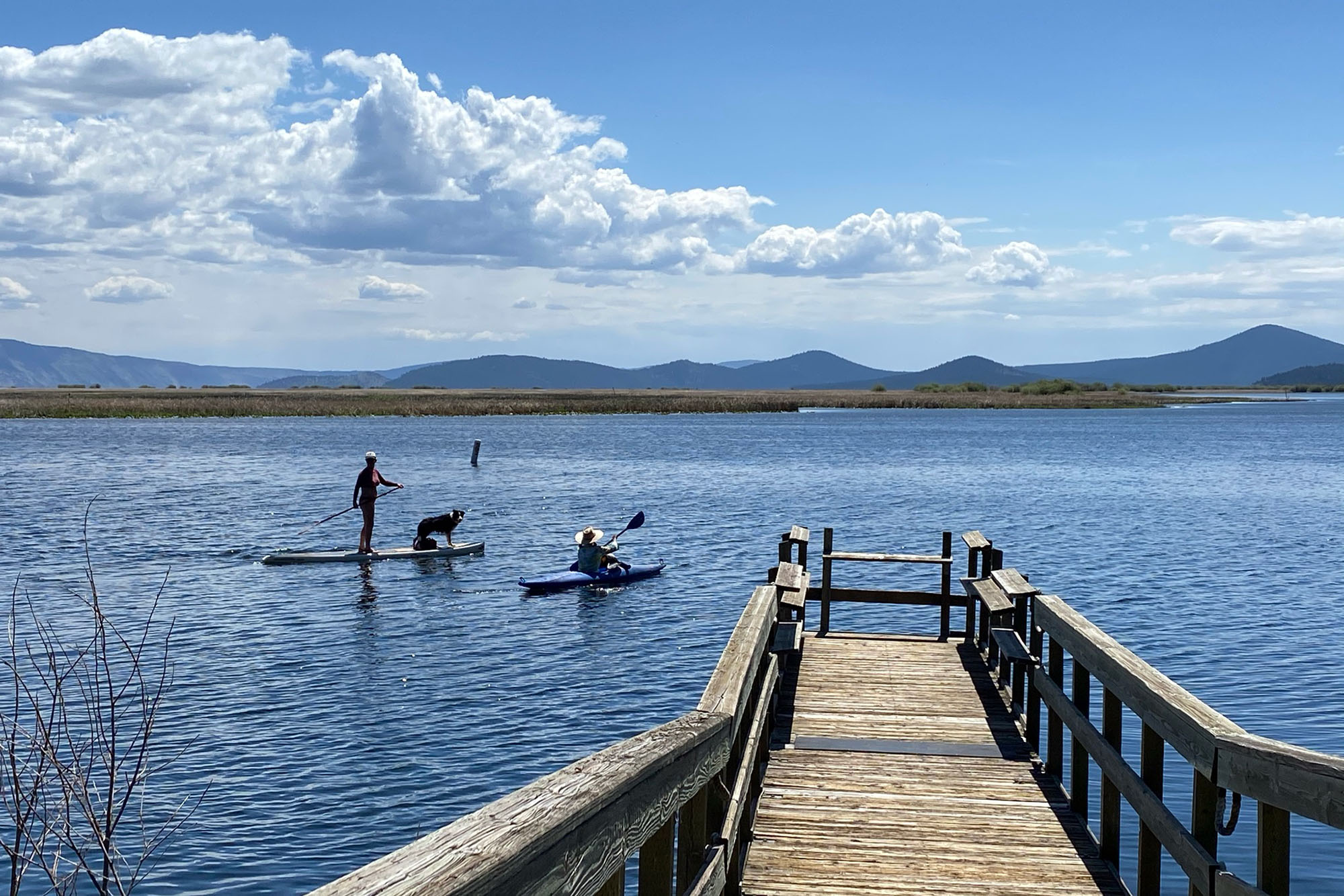
It’s an easy 50 mile drive West from Ashland to Rocky Point, a day use area with a parking lot and boat launch. A perfect paddle any time of year, but best in the off season, when the resort is closed, and the summer cabins and their docks are quiet for the winter.
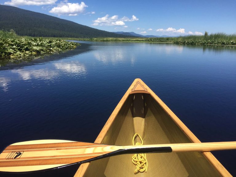
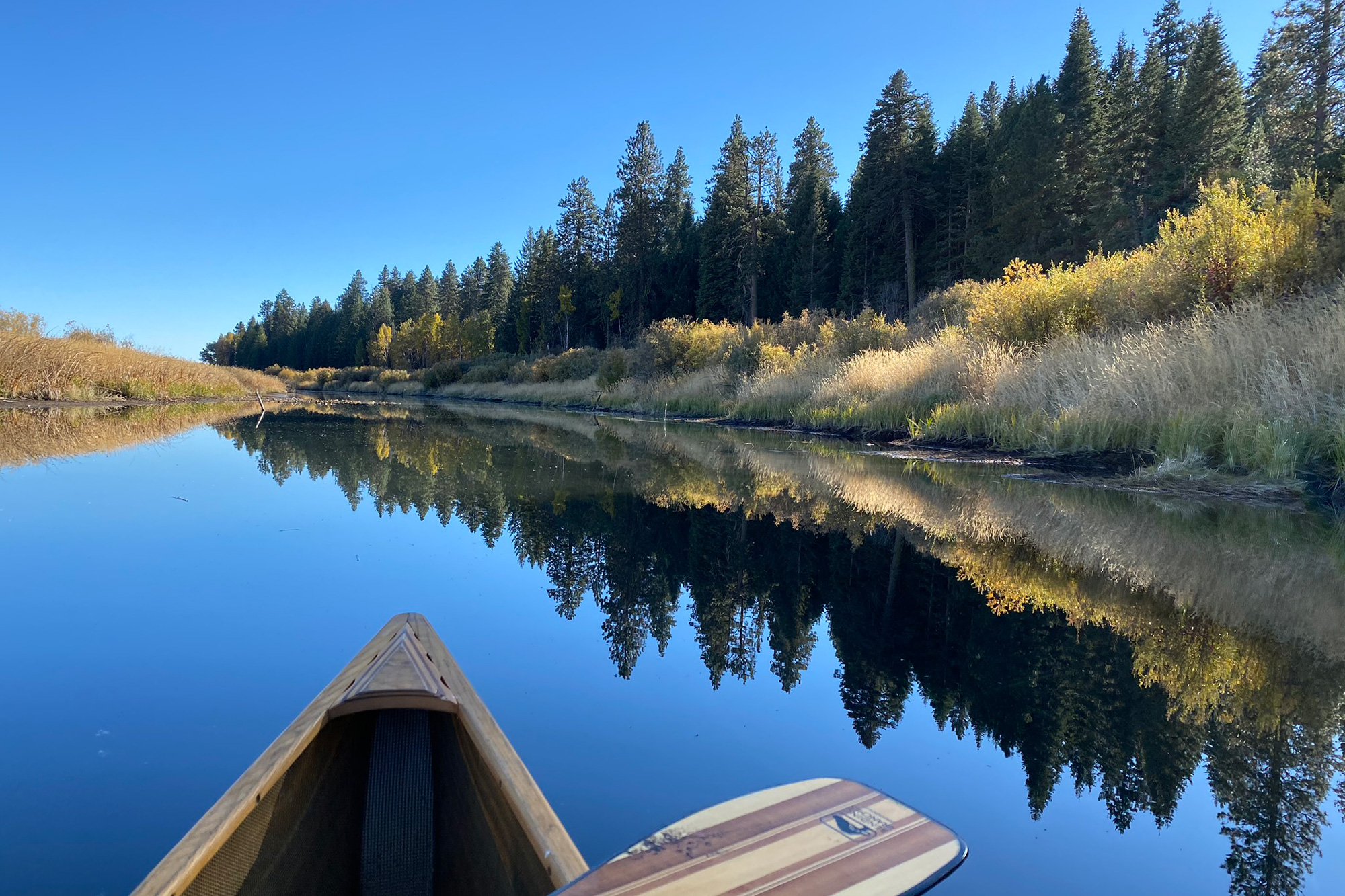
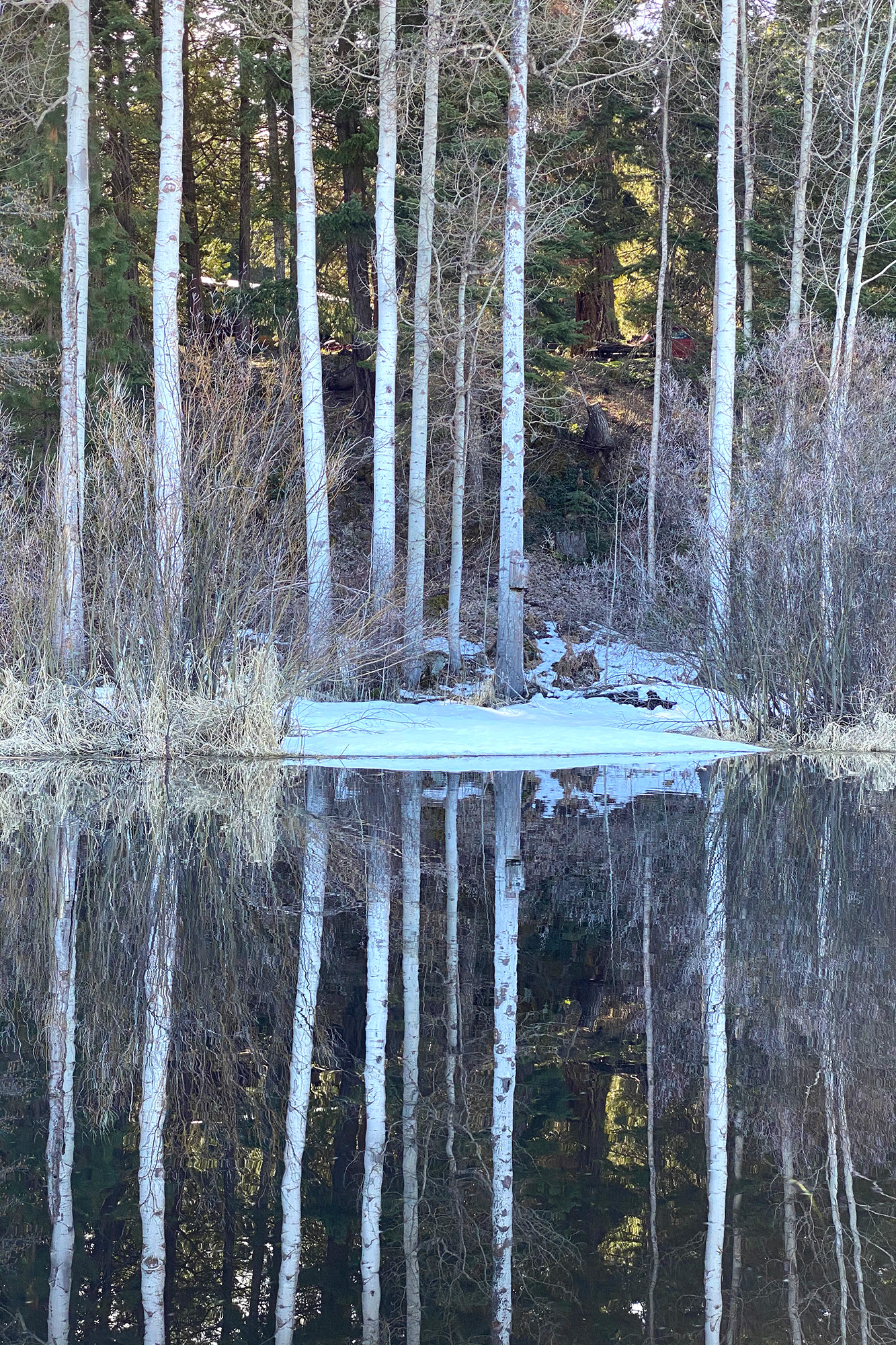
After leaving the dock, Mt. Mcloughlin makes a grand and enduring appearance in the Southeast. In some places, the water trail becomes a stream chocked with wokus and dense marsh grasses, at other times we cruise along a shoreline of tall pine and fir, the outposts of hunting raptors.
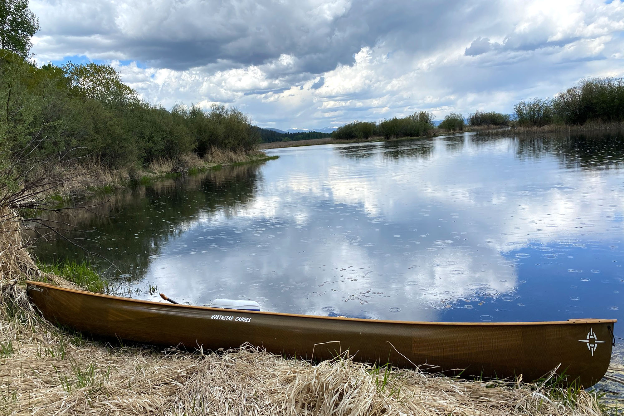
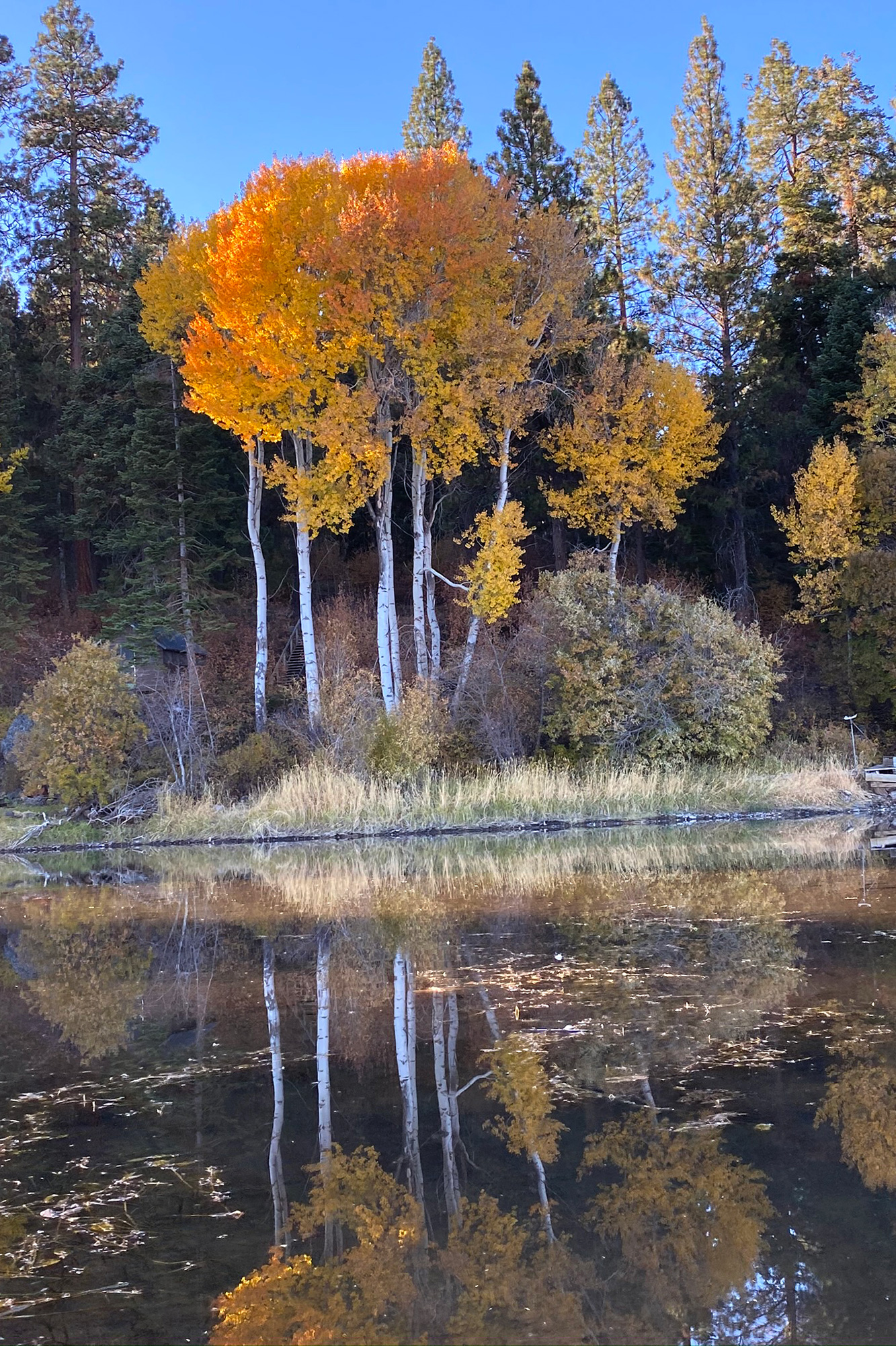
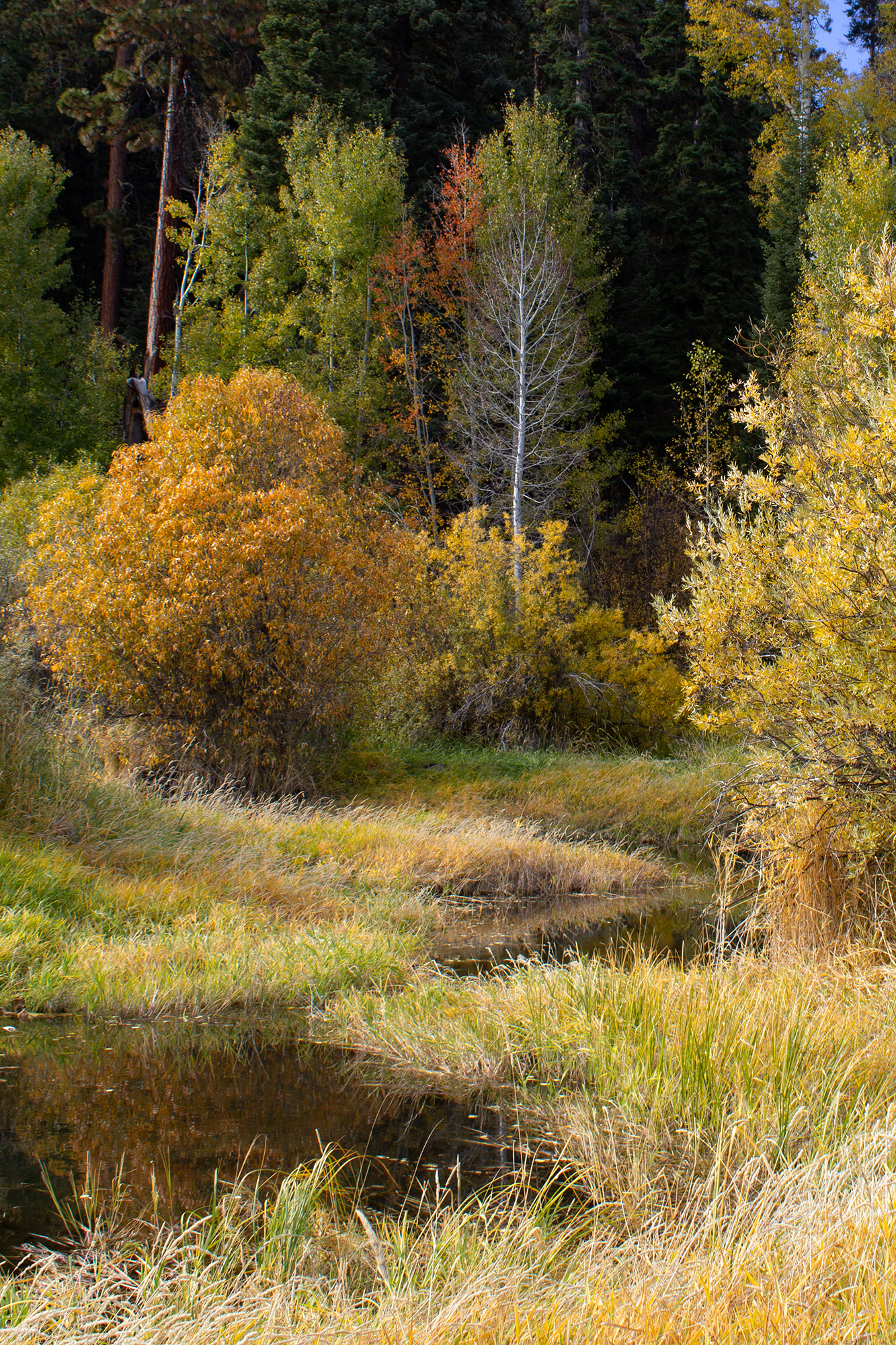
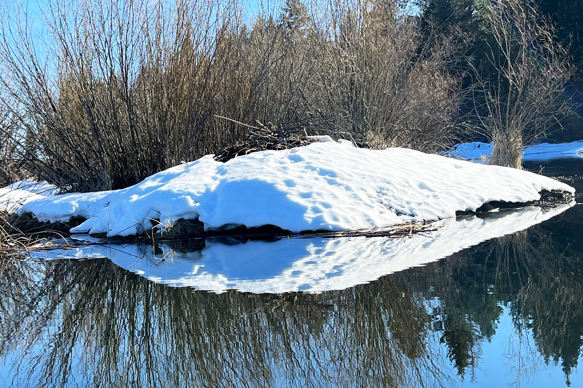
In some seasons we paddle through a rich painting of Autumn colors or Winter reflections. There’s always a great lunch spot along the way,
The Upper Klamath Canoe Trail is a quiet escape into a water world rich in wildlife and wilderness.