
One of my reservations in moving to the village was leaving the mountain where I had lived for 25 years. I had grown roots in the steep soils, surrounded by woods, with the sun rising behind a mountain-edged river valley. Stepping out my front door and into the forest, often with kids in tow, swords tucked into their belts, we would follow the creek and climb the trails left behind from old, overgrown logging roads, hiking through fir, cedar, madrones, and dense thickets of manzanita and huckleberries.
Our home was 4 miles up a steep, winding, often narrow mountain road. This was the road I hiked up for years, with neighbors, with friends, with a kid in a backpack, or pushing a stroller. Traffic was minimal, so we would stretch across the road, or bunch up in little groups, and ascend the mountain in noisy conversations.
Once I settled in Ashland, I would head out the back door and climb the many hills leading up out of town and into the watershed. I discovered I could match the steepness and the distance I used to do on the mountain. And I discovered an extensive creek to crest trail system that would challenge and feed me for a long time. When Charlie and I hooked up, he started joining me on my early morning forays, which were limited and routine because the work day lie ahead. Now that we are both retired, we wander far and wide, in all seasons and in all weather, covering different combinations of the trails.
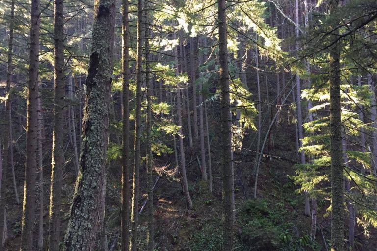
The 15,000+ acre Ashland Municipal Watershed is home to more than 45 miles of multi-use trails for hikers, mountain bikers, and equestrians. There are several partner organizations who manage the trails including the Ashland Woodlands and Trails Association, and they and their members do an incredible job of managing this valuable resource. Ashland itself has an expansive parks and recreation system, including Lithia Park, and the watershed trails are an extension of Ashland’s abundant green spaces.
It is Sept. 15 when I am publishing this, and the trails are currently closed due to the impacts of wildfires nearby. There are interpretive signs on the Red Queen trail about the history and role of fire in the watershed. The watershed is managed for water production and wildlife habitat, but also fire safety, with the Ashland Forest Resiliency Project working to reduce wildfire risks.
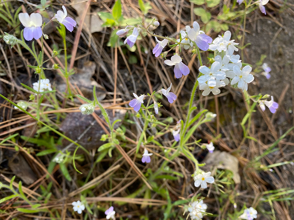
Spring rains bring green hills and wildflowers on the watershed trails.
Hiking the same trails in different seasons lets us experience the smaller details – the ephemerals in the Spring, the evidence of other critters, the art of nature.